GeoSpatial 65


About the Project
The Geospatial Analysis 65 project is a collaboration of the Texas A&M Forest Service and Texas Trees Foundation supported by PlanIT Geo. Sixty-four Texas cities were selected for this project based on their high need of tree canopy. The project supports and empowers cities throughout Texas to plant trees where they will have the greatest impact and benefits to residents.
A canopy tool was developed that aligns local data on tree canopy, population, urban heat, and other factors to identify high-impact tree planting areas and sites. Innovative geospatial technologies allow users to identify and prioritize optimal planting locations based on unique local conditions and needs. This tool will help provide a roadmap for cities to become greener, cooler, and healthier over years to come. Along with the canopy tool, individualized reports for all 64 cities are available below.
Trees are vital to healthy and thriving communities. By cleaning the air and water and providing shade, trees improve human health and wellbeing, increase economic activity and learning outcomes, decrease crime, and improve access to water and energy. All of the priority cities participating in this initiative need more trees to secure these benefits. Within each city, the need for trees is more pronounced in some neighborhoods than others. Tree planting, especially in priority areas as described in this report, is a powerful investment in the future of our growing state and its communities.
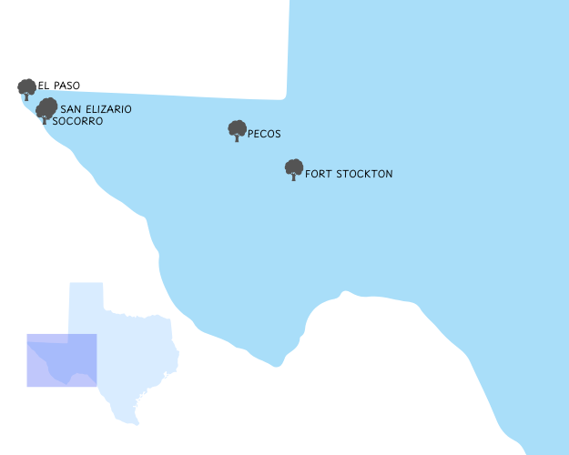
ALPINE REGION
The Alpine region is in the western portion of Texas and the ecoregions of this area are Trans-Pecos, Rolling Plains, High Plains, and Edwards Plateau.
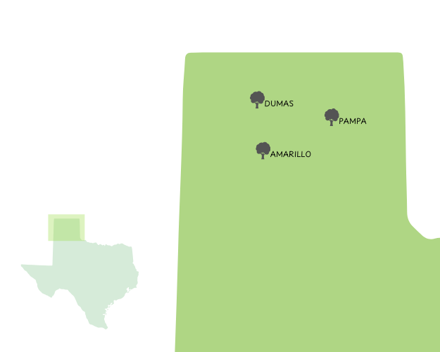

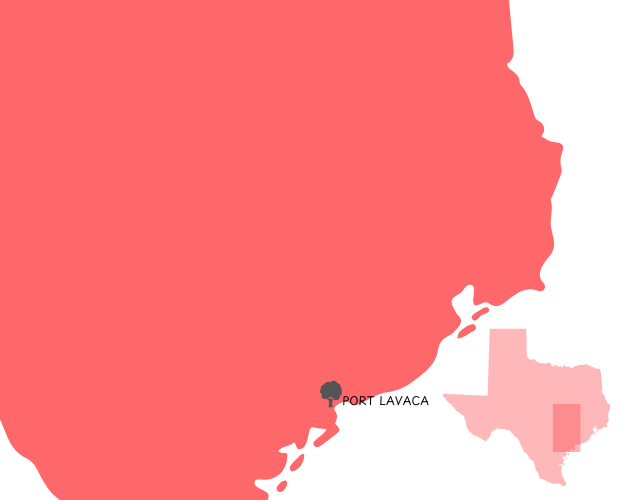
AUSTIN REGION
The Austin region is in the central and southern portion of Texas and the ecoregions within this area are Edwards Plateau, Blackland Prairies, Post Oak Savannah, Piney Woods and West Gulf Coastal Plains.
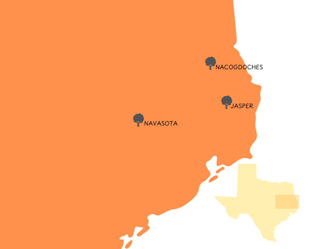
COLLEGE STATION REGION
The College Station region is in the central and eastern portion of Texas and has Blackland Prairies, Post Oak Savannah and Piney Woods ecoregions.

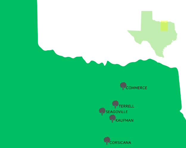
DALLAS REGION
The Dallas region is in the northern portion of Texas and has Post Oak Savannah and Blackland Prairie as the predominant ecoregions.
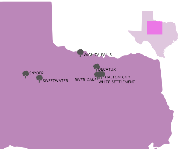
FORT WORTH REGION
The Fort Worth region is in the northern and western portion of Texas and has predominantly Eastern and Western Cross Timbers, Grand Prairie and Plains, and Rolling Plain as the found ecoregions.

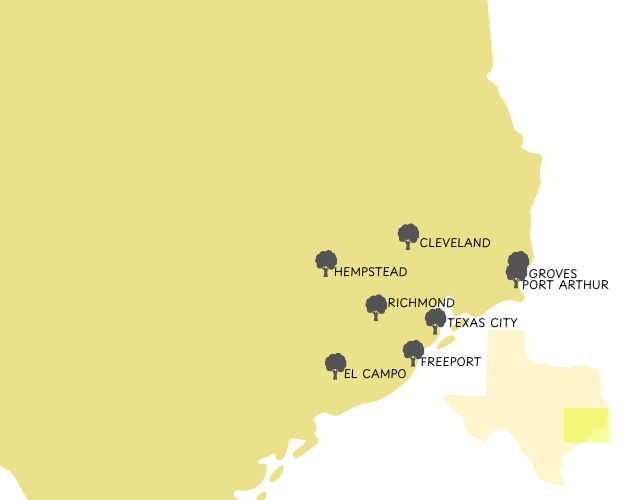
HOUSTON REGION
The Houston region is in the central portion of Texas and the ecoregions that can be found are Blackland Prairies, Post Oak Savannah, Piney Woods, and West Gulf Coastal Plains.
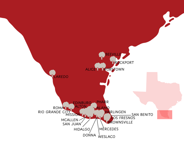
KINGSVILLE REGION
The Kingsville region is in the southern portion of Texas and has South Texas Plains and West Gulf Coastal Plains as the ecoregions.

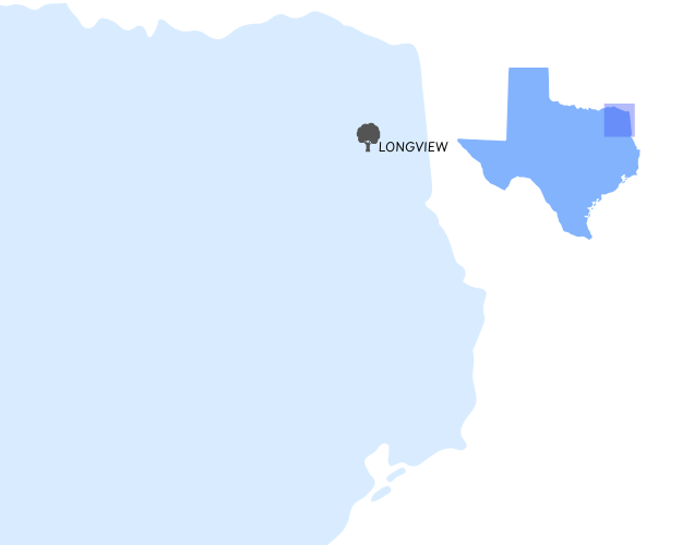
LONGVIEW REGION
The Longview region is in the eastern portion of Texas and the ecoregions are Blackland Prairie, Post Oak Savannah, and Piney Woods.

LUBBOCK REGION
The Lubbock region is in the western portion of Texas and the ecoregions that could be found here are Rolling Plains and High Plains.


MCGREGOR REGION
The McGregor region is in the central portion of Texas and the predominant ecoregions here are Grand Prairie and Plains, Blackland Prairie, and Post Oak Savannah.
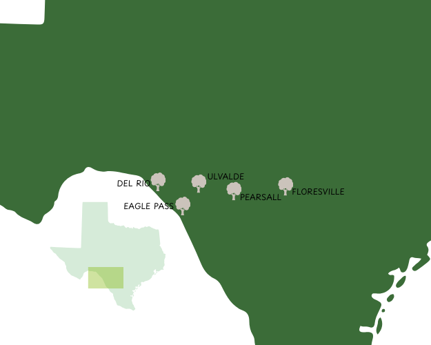
SAN ANTONIO REGION
The San Antonio region is in the western portion of Texas and the ecoregions are Edwards Plateau, Blackland Prairies, Post Oak Savannah, and South Texas Plains.

Interested in Urban Forestry Consulting?
Learn more about our services and past projects here.

