How GIS Maps Help to Build the Urban Forest
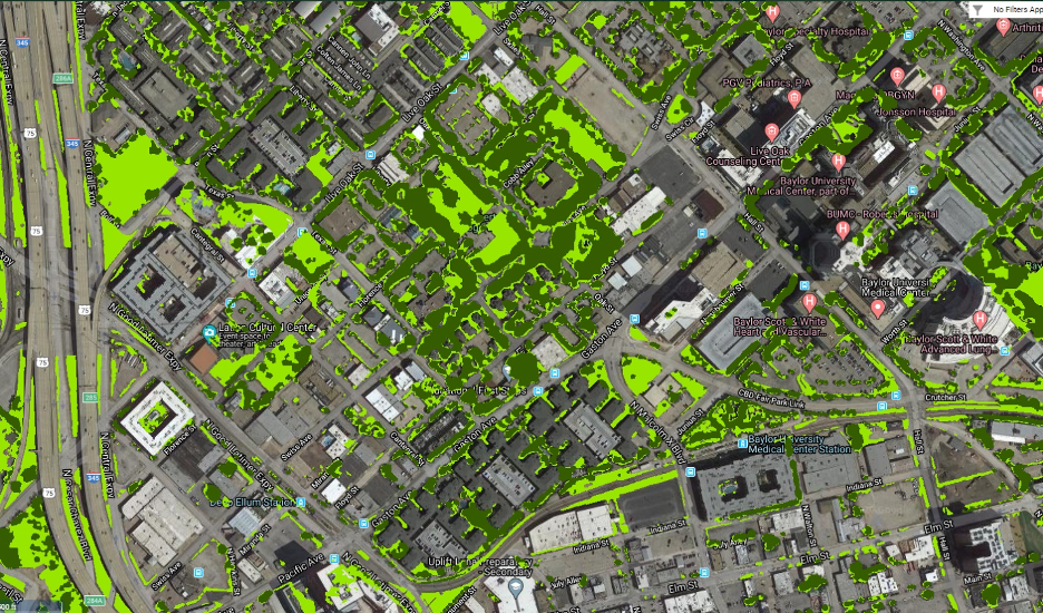
Using maps and data to assess and improve tree canopy cover in North Texas Maps are a powerful tool used in urban forestry that help people understand the different types of trees a city has, where they are located, and about their health and growth. Most mapping of the urban forest is done electronically through “Geographical Information Systems”, or GIS. What Are GIS Maps? GIS maps analyze data across a city, county or region while helping foresters learn more about the trees in the […]
How GIS Maps Help to Build the Urban Forest Read More »